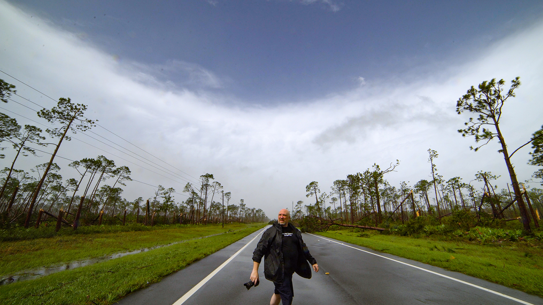
One of the downsides of working in storm chasing as a chaser and as a manager to dozens of chasers for StormChasingVideo.com, is that a lot of the time, my own work gets shoved aside for the latest breaking news story. So one bonus of this boring weather, with not much to chase or do in the upper Midwest this fall, is that I can finally catch up on years of backlogged work.
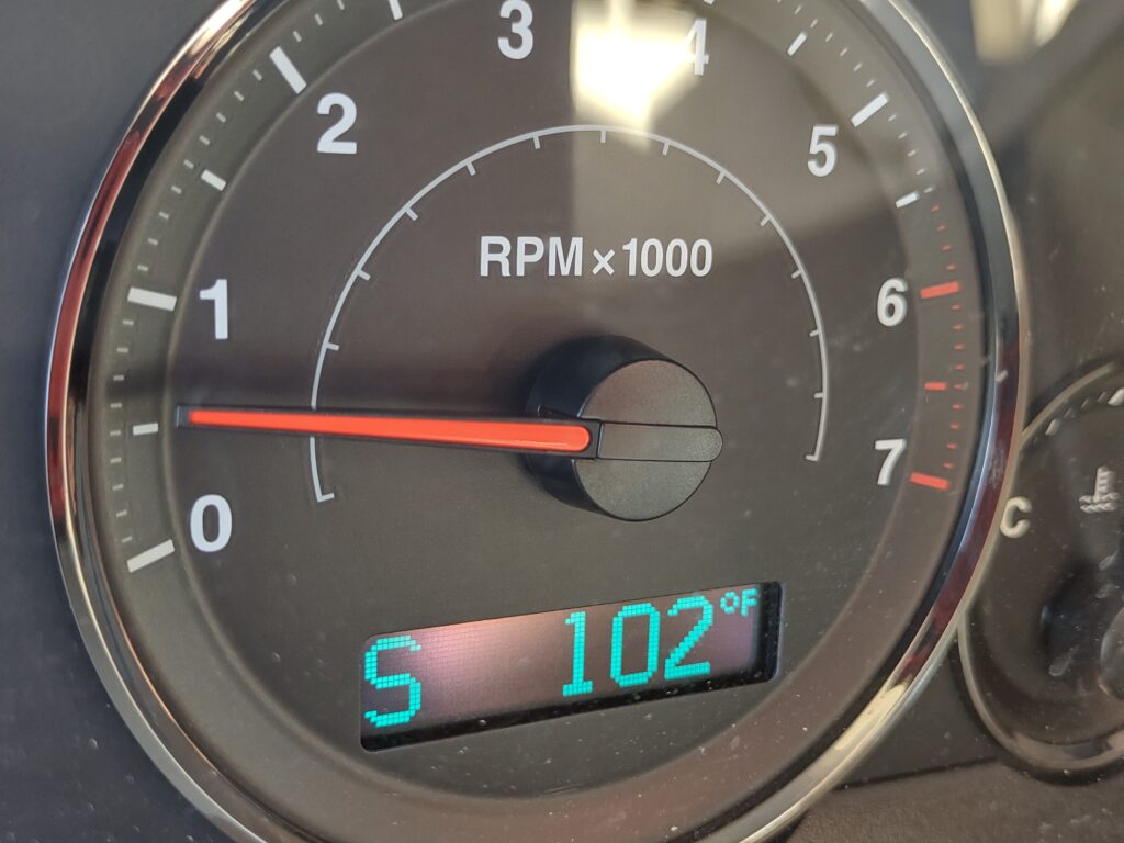
I just looked at my work photo storage drive and picked a day at random to review and edit the images. I found June 7th and June 9th, 2021. These were North Dakota chase days with more storm structure and a lightning-chase setup. Still a fun chase, but one I forgot about because of so much other work and life priorities until now. As I started posting the still photos I shot on the A7R4, I ended up doing a deeper dive into what I also shot on my phone. I remember thinking the day would be huge or a bust because the temp at one point was over 100¯F.
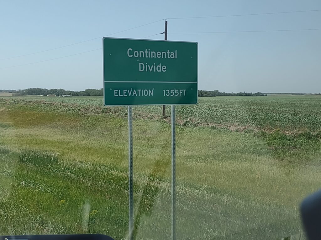
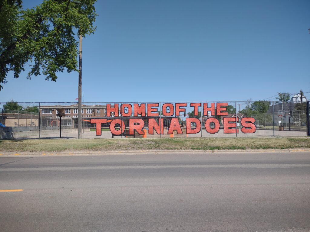
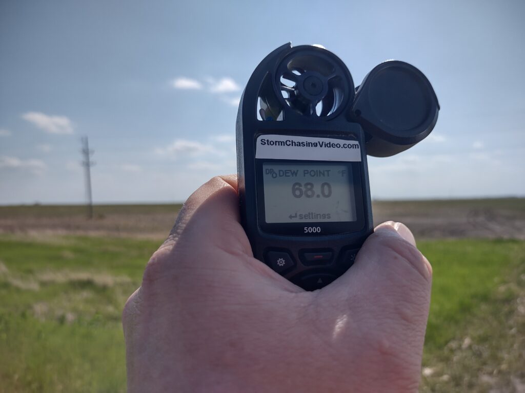
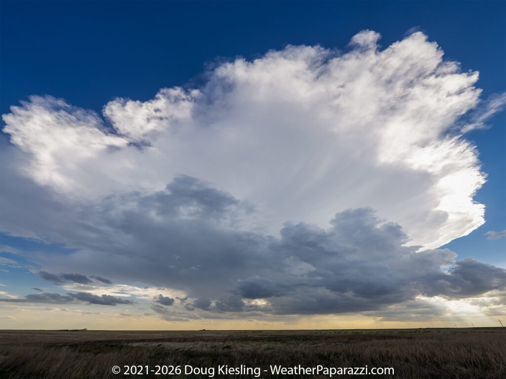
Once the storm started to fire, I was treated to some atmospheric art as the cloud seemed to almost explode into the sky.
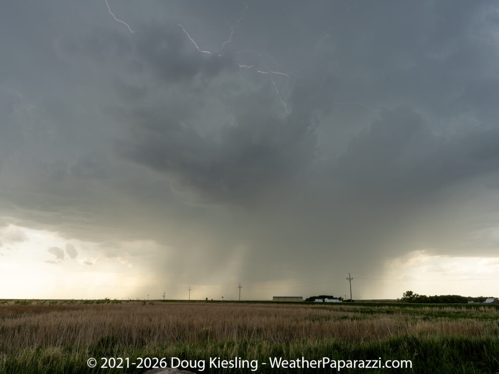
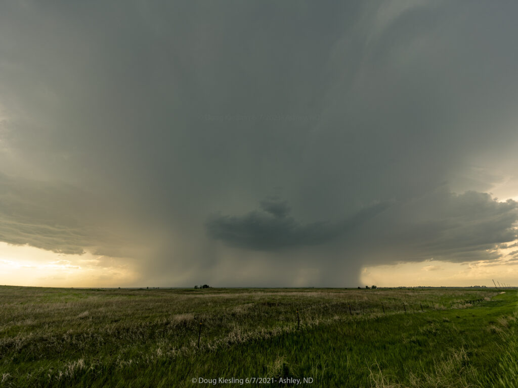
The three images are from near Ashley, North Dakota, on 6/7/2021, when the storm forecast looked promising, but it turned out to be a short-lived tornado I played hide-and-seek with.
The storm did produce, but very weak spin-ups in the middle of nowhere where nothing was damaged.
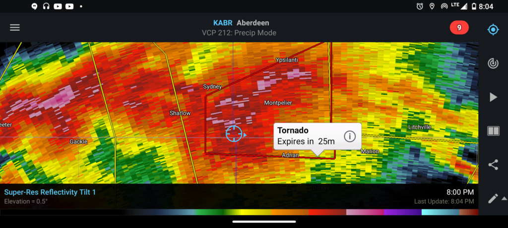
This is the report from the Storm Prediction Center for this storm.
MULTIPLE REPORTS OF A TORNADO BETWEEN GACKLE ND AND SOUTH OF SHARLOW ND OR 5 WNW MILLARTON. ONE SPOTTER CALLED IN TORNADO THAT QUICKLY BECAME RAIN WRAPPED 5 WNW MILLART (BIS)
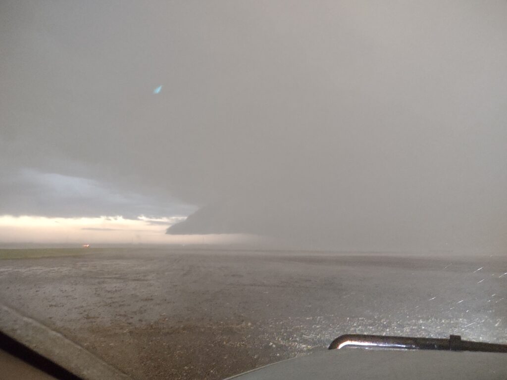
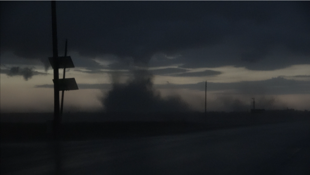
The image below is the weak dust up image I was able to grab on my cell phone since I was not sure if that was what really was being warned.
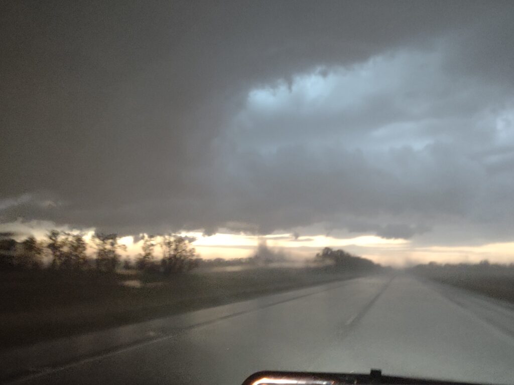
The image below is a screen grab from the dash camera showing what I heard was the reported tornado. It was at dusk and very hard to see but it could have been, so I guess I should count it as another tornado intercept.
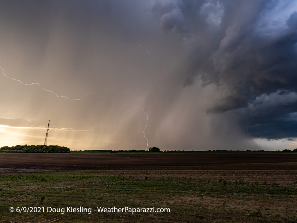
The image below was from 6/9/2021, when the storm was closer to home, north and east of Saint Cloud, MN.
I have a ton of paperwork to catch up on and new work for new clients on upcoming movies and television shows, but I’ll update the personal website more regularly, every few days. It’s not like I don’t have the content to post; I’m just finding the time to post it 🙂 I still have to review my raw footage from this these days.
The footage we did post was from Juston and Simon who were also on the storm.