Well that was fun… Another high risk day, another turbo charged day full of fun chasing. This morning, I woke up to a High Risk of severe weather on the Storm Prediction Center – Day One Outlook. It looked like we were going to have a great setup until I saw the upper level winds and I knew the storms would be moving along at insane speeds. So this morning we stopped off in Hays Kansas to pick up some JATO (Jet-Assisted Take Off) units for the truck. They were not even enough to help out to keep up with the storms. Just kidding about the JATO unit.
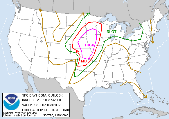
Here was the day one forecast that showed the high risk for today.
Pretty much just played the line today in Kansas and got on several tornadic warned storms. Not a bad day, just not something I think should have be high risk. I did get some sweet lightning footage and some wicked time-lapse video of the storms.
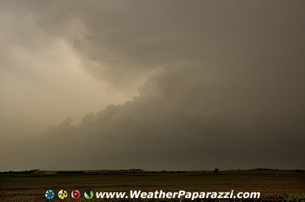
But for the most part the storms were HP or High Precipitation and you could not see much. When you could see the setup, they looked pretty sweet.
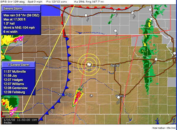
I did stop and grab a screen cap of the radar while we were waiting around for the storms to fire. I think the storms were moving a little fast today.