Today is one of those day’s where you don’t have enough time and you planned and promised to be somewhere when you know you DON’T make ANY plan’s AT ALL during hurricane season. Today Neva and I are off to a family reunion south of the Twin Cities at her aunt’s place and I’m trying to plan a hurricane intercept and still have to get some gear out of storage.
The whole intercept is in question now because the storm is looking like crap due to the interaction with the mountains in Cuba.
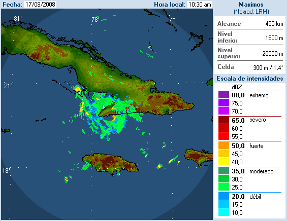
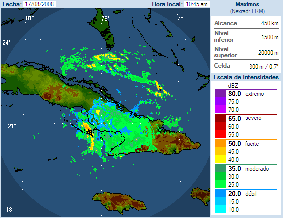
The latest radar our of Cuba shows the storm is being really killed off by the land interaction. Below is the two radar sites that are near the storm and it does not look good.
While NHC still has the storm coming in as a hurricane on Tuesday morning, looking at the latest computer models, the storm is still all over the forecast maps. The latest from Weather Underground www.wunderground.com shows another move to the west for most of the computer models.
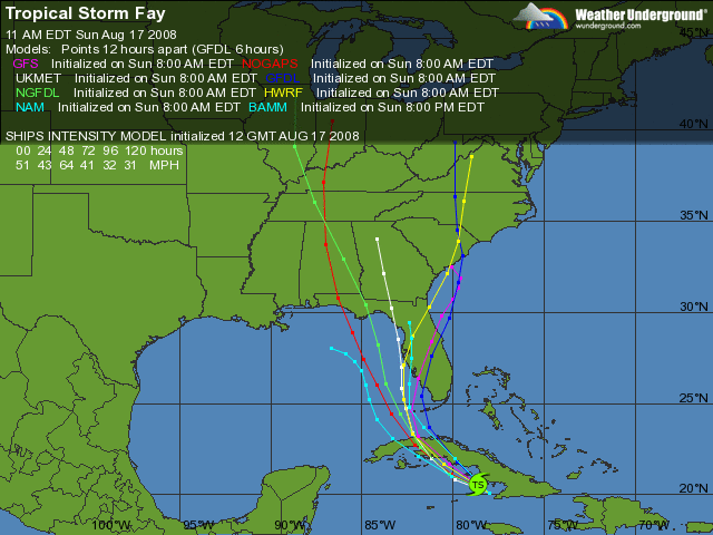
NHC still thinks it is going to hit around the Naples to Fort Myers area as a hurricane but I’m starting to think it may only come in as a strong tropical storm at best now. I will need to see what the setup does in the next 12 hours before I pull the trigger to go chase.
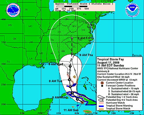
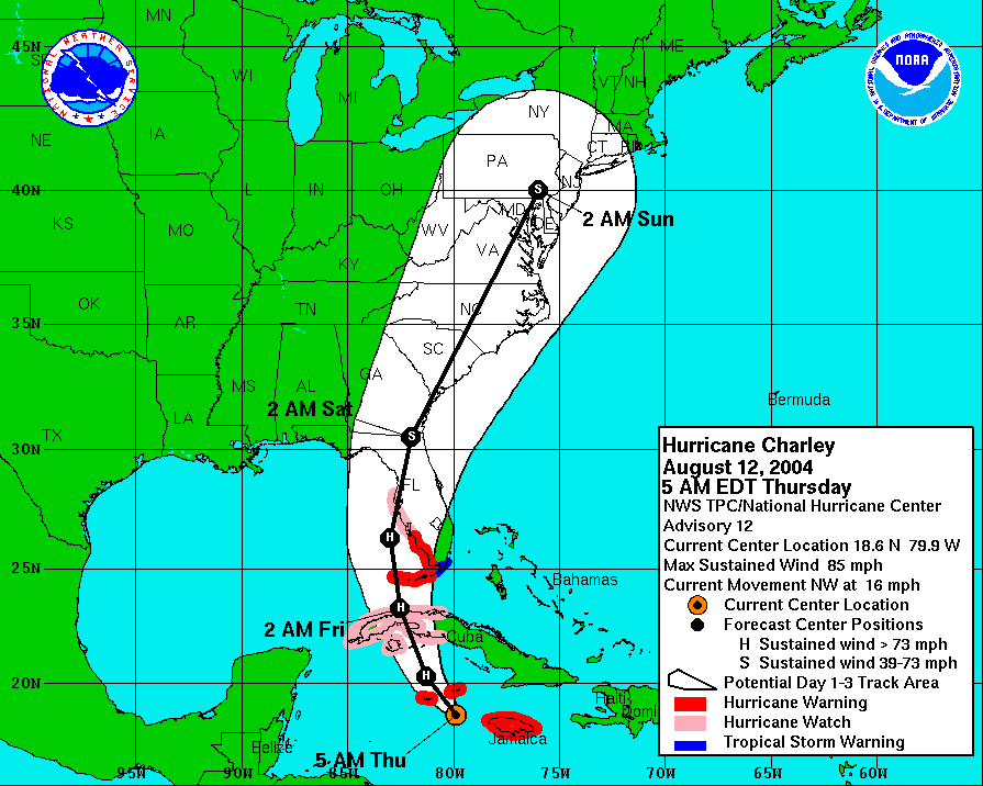
Now some people are talking about rapid storm development like what happened to hurricane Charley but there is one main difference. Charley was a developed hurricane long before it hit Cuba. Below is the graphic from the day before Charley hit Florida in 2004. It was a storm, not a system trying to be a storm. It is much easier to go and chase a hurricane that is already formed with a general area to intercept vs trying to intercept a storm that may form into a hurricane in a general area with a 50% chance it won’t even become a hurricane in the first place.