Ok, just got home from Fargo North Dakota after spending pretty much the better part of this week up there to cover the flooding. The river has crested per the forecast but the area is still on high alert for any problems or leaks that may start.
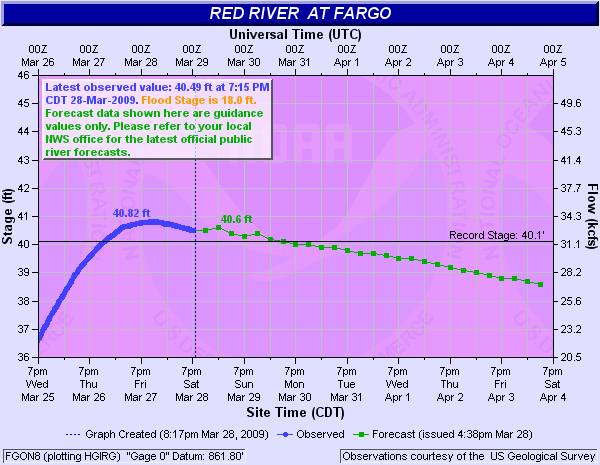
Here is the latest river forecast that shows the highest river levels have past and I’m pretty burned out and needed a day off to get some clean clothes and get ready for the blizzard that might be hitting the area in the next couple of days.
Here was the forecast for the river tonight.
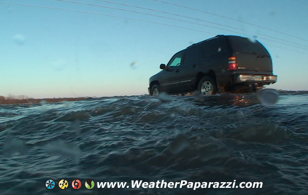
Now the long range forecasts shows that the ice is going to start getting thicker on the water that is in the fields south of the Fargo / Moorhead area. I was filming in Moorhead today (will post that footage tomorrow after I get some rest) and I was also location scouting sout of Fargo near Oxbow. The water did come up a couple of feet from when I was filming the air-boats on Thursday but it has gone back down into the fields. But when it flooded Highway 81, it left about six to eight inches of frozen ice on the road that needs to melt off or get plowed off.
Here are some quick photos before I go.
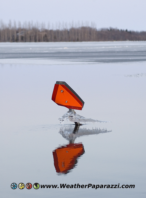
Here is a hazard sign with a sheet of ice on it that is above the water that gives you an idea about how much the water has fallen in this area.
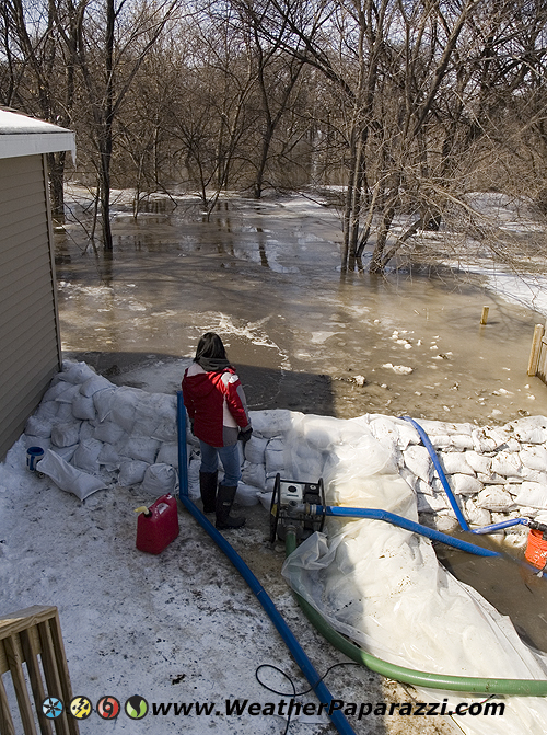
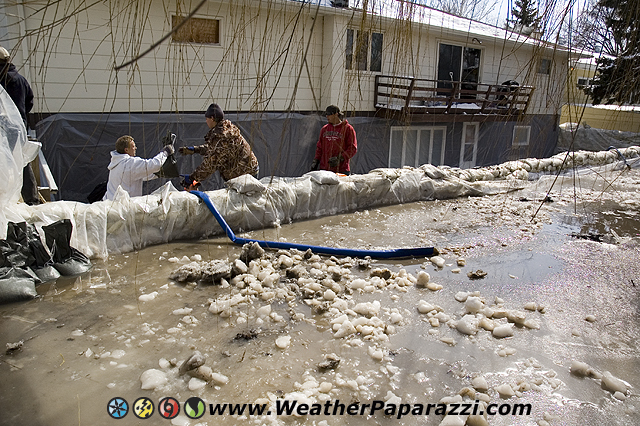
This next photo is of residents in Moorhead, MN fighting in the trenches to battle the water.
Moorhead Resident watches the Red River invade her back yard.