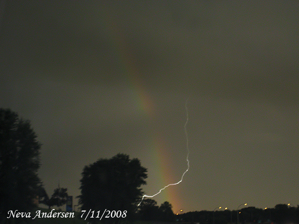
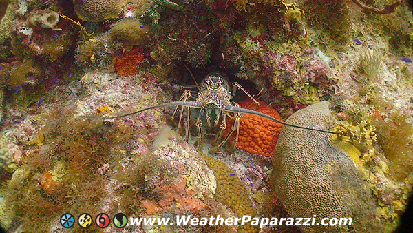
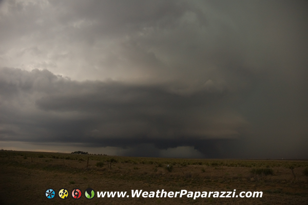
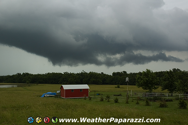
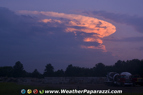
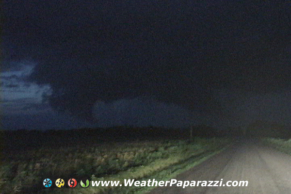
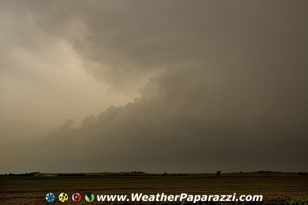
To start out with, I have been chasing like crazy here to the point were Neva has been wondering when I am going to finish moving. I was up by Canada the other day and then chasing in Northern Iowa the next day. The storms up north of Grand Forks were pretty sweet but damn it is a Fn haul to get up there. It’s like driving from Minneapolis, MN to Kansas City, MO, it will take a while. But it was worth it. I just wish I would have got up their sooner. The area is still way up north but when there is nothing else happening, it was worth the experience chasing tornadic storms why up north.
Okay, now onto other news about the chaser community. I really did not want to touch this one with a 100 foot pole but I will address it here and now.
A couple week’s ago, a tornado was reported in Valentine Nebraska. Video of what was thought to be the tornado was fed out to all the news media of the event. And then all the other chasers saw it on viral video feeds and the network feeds and AP online feed.
Then that is when a few of us started saying wow, that sure is a cool looking speed up video feed to make it look faster. But wait, that looks like the Rock Kansas tornado from June 12, 2004 which was same day as the Mulvane Kansas tornado day that must have been documented by several hundred chasers.
Here is what KSTP, the station I freelance for in Minneapolis, this is what they had on their website.
http://kstp.com/article/stories/S506179.shtml
Created on: 07/11/2008 01:45:50 AM
By DAVID BAUDER
Tornado videographer denies doctoring footage
(AP) NEW YORK – A storm chaser accused of doctoring old tornado video and selling it under the pretense that it was taken last week in Nebraska denied wrongdoing Thursday, suggesting that professional jealousy was behind the allegation.
The Associated Press and video services operated by CBS, NBC and Fox pulled the video late Tuesday after determining that there was enough evidence to question its authenticity.
Andy Fabel agreed to sell the footage for $295 to The Associated Press, and also made it available to the other news organizations. The AP has purchased tornado video from Fabel on three previous occasions.
A fellow storm chaser, Dan Robinson of Appalachian Skies Media, contacted the AP to say he believed Fabel’s video was a doctored version of images taken of another twister that touched down four years ago in Rock, Kansas.
Fabel told the AP on Thursday that he legitimately filmed the Nebraska storm. He said fellow storm chasers are “jealous of you if you got a tornado that they wanted. They’ll pack it up and try to crucify you. “Robinson said the image was “flipped” to make it seem the tornado was pointed in another direction, and the action sped up.
The supposed Nebraska footage includes power lines not seen in the Kansas storm; it also is minus trees shown in the Kansas images. Robinson said he was familiar with the Kansas storm because he, too, had filmed it from a similar angle. He said at least four other storm chasers who had witnessed the Kansas storm agreed on an Internet forum that the video was from Kansas.
The AP had sent Fabel’s video Sunday to nearly 2,000 Web sites that subscribe to the company’s Online Video Network, and more than 60 large digital customers that buy AP’s online content individually. Upon seeing the evidence, the AP eliminated the video from OVN and contacted its other customers to urge them not to use it, said Kevin Roach, the AP’s acting head of domestic broadcast news operations.
“We never want to mislead people,” Roach said. “Based on evidence provided to us, we believe that the video was not authentic. “Roach said the AP looked at the two video streams side-by-side, and examined individual frames of the footage in making its determination. He also asked for opinions from a photo editor and third storm chaser, Roach said. “It was rather definitive for us,” he said.
The NBC, CBS and Fox services provide video to the networks’ affiliates. They had agreed to buy Fabel’s video and distributed it, then took it off their servers on Tuesday after suspicions were raised, representatives for the networks said.”There was enough evidence for us to make it suspect, ” said Sharon Houston, an executive producer with NBC News Channel. John Stack, vice president of news gathering for Fox News Channel, said Fabel has been one of the top storm chasers relied upon by media for tornado pictures. Now he said Fabel’s work is suspect. “The concern is whether he’s an actual news gatherer or Cecil B. DeMille,” Stack said.
(Copyright 2008 by The Associated Press. All Rights Reserved.)
And then there is this one from the Chicago Tribune.
It has the frame grabs from the two videos to prove it was a fake.
This was a bad thing to do and to ruin everything and hurt the industry for $295? What an idiot.