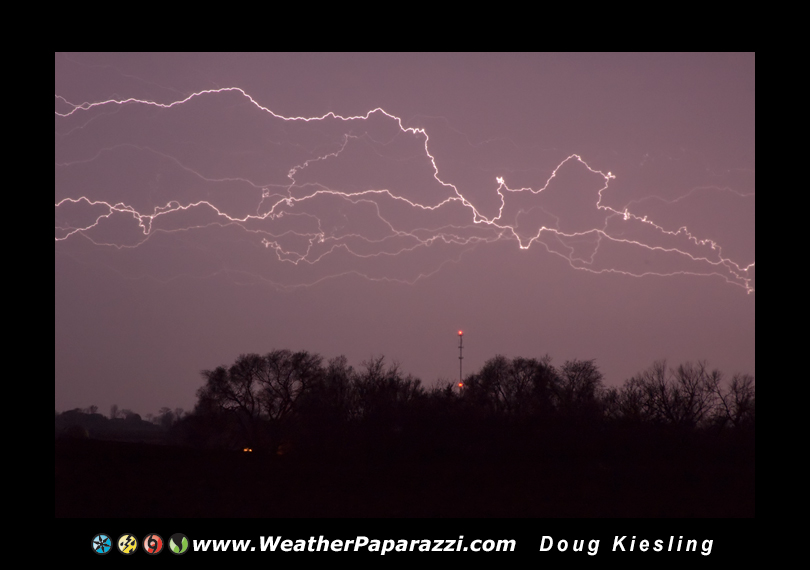
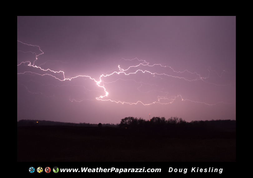
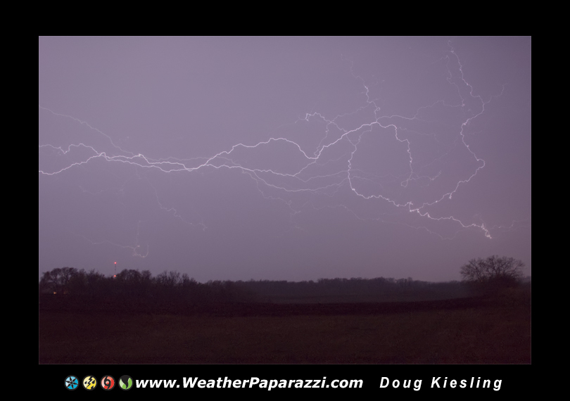
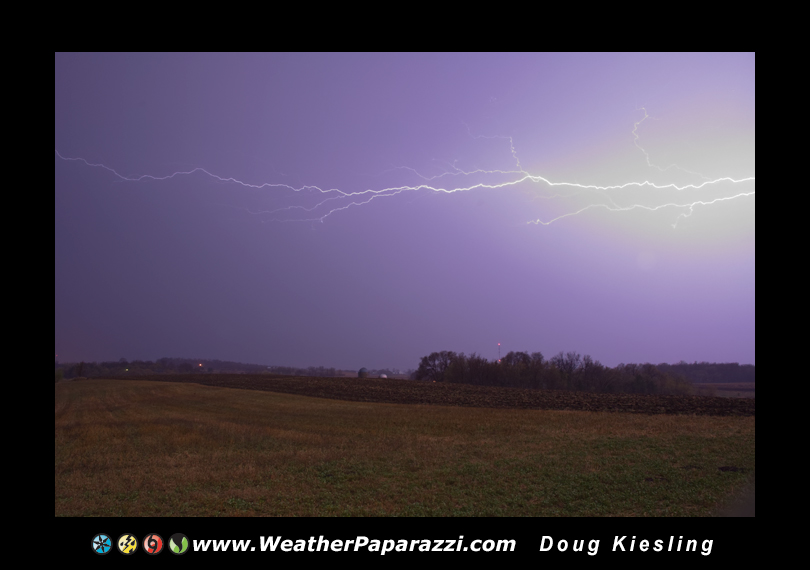
6/17/2010 Storm chase in Pine County, MN

Just getting caught up after an insane couple of days.

Just the short version here.  Been working on http://www.BNVN.com stuff and working behind the scenes to finally update this site.    Thursday I had plans in St. Paul from 1:30 p.m. to 4:00 p.m. and these plans could not be changed and were setup weeks ago.

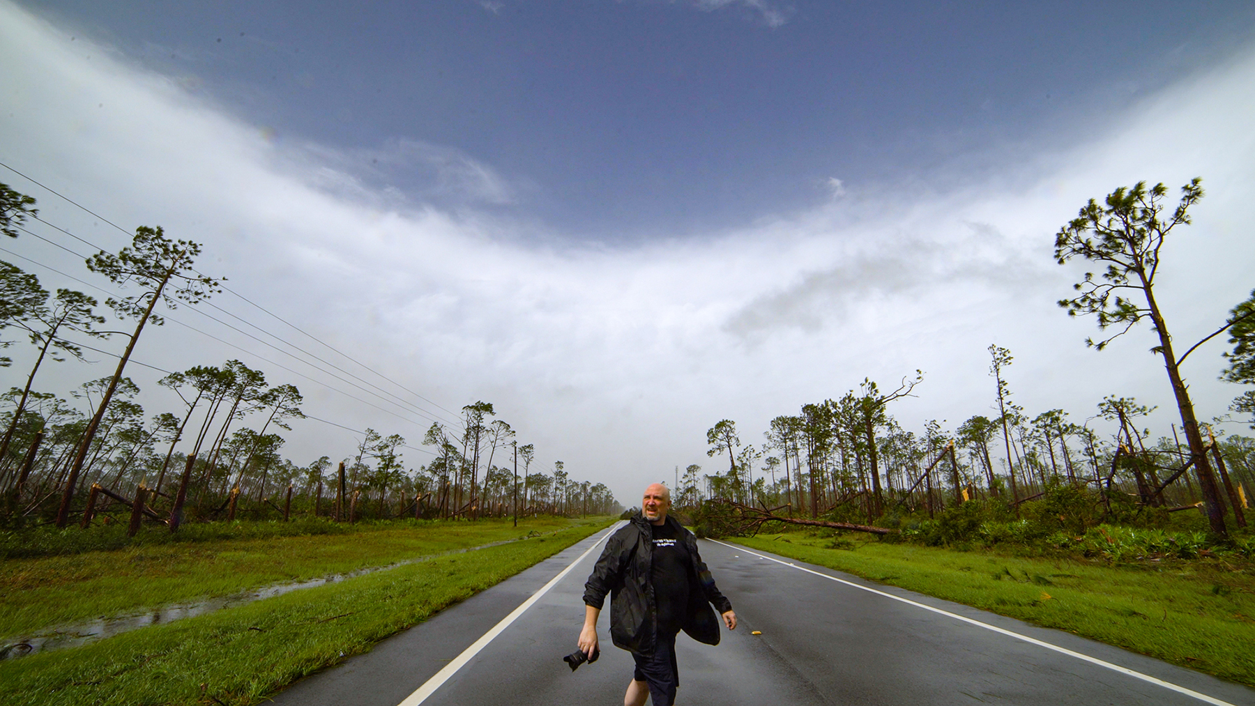
Once I was finished I was able to get out to chase and ended up heading out west of the metro area and followed the line of storms up north from the Howard Lake, MN area up to Monticello and ended up in Pine County, MN where the tree’s made it impossible to chase.  I swore that as soon as I got to the St. Croix River, I would stop since I was not going to try and chase into Wisconsin.

I did end up shooting footage and here is the video:

6/17/2010 Pine City MN Tornado Damage Video

Pine County, MN which is south of the city of Duluth, MN, a violent tornado hit the area just east of Pine City, MN along the Minnesota and Wisconsin boarder. The tornado injured several people and destroyed one home and damaged another along Highway 70.

Explosive Storm Sewer from Minneapolis, MN on 07/03/1999

Back in July of 2004, we shot footage of an explosive storm sewer on Interstate 35W and 35th street in Minneapolis, MN.  

7/11/2004 Storm Sewer System Backing Up Video.

Since then we have been getting requests for another video that was shot by a traffic camera in 1999 of the same thing happening and causing an accident.  After a lot of searching, we finally found the footage. 

7/3/1999 Traffic Camera Catches Storm Sewer Backing up 50 feet in the air

This video from 07/03/1999, from the traffic camera on Interstate 35W and 35th Street catches the explosive storm sewer happening several times over a few minutes and even has the accident caught on tape where a pickup truck drives into a massive storm sewer cover that was blown off the opening. The storm sewer would get large amounts of air trapped in the system during heavy rain causing it to push the water back up the storm sewer system and exploding straight up in the air like a geysers. 

I also found the video form the tower camera that shows me driving up to the exploding sewer on 7/11/2004.

7/11/2004 Traffic Camera Explosive Storm Sewer Flooding

Busy past week.

Hey everyone, it has been a busy past week for me running BNVN.  While I have not been out chasing and don’t think I have drove my Jeep more then 15 miles in the last 2 weeks, I have been working on another new website to launch this week along with working on a lot of stuff behind the scenes for this site and for BNVN.com.

We (the BNVN crew) hsa been very busy with chasing and I have been very busy stuck in the office, which is a good thing, no a great thing, considering last month was deader then DEAD.  Sorry I have not posted a lot of the BNVN stuff on my personal blog but I have been trying to get the BNVN site to take over all of the stuff for BNVN.  You can check out all the new videos at www.bnvn.com and you can also follow us on Twitter at http://www.twitter.com/stormchasingvid

I have about a weeks worth of work to do on the new chasing site and then I’m going to launch it.  Lots of stuff to encode and links to verify. 

I’m also going to start working on this site soon and get the photo gallery and stock photo pages up to date and on line.

Well, it is 4:15 in the morning and I need to get some sleep.

Later

Scott Weberpals video made The Drudge Report

Looks like someone got a leaked copy of the clean video that Scott Weberpal shot yesterday and I took care of the video sales for him.  They reuploaded it to their own YouTube account and it got linked by The Drudge Report.  Check out the second link on the down on the left that says VIDEO: Multi Vortex at Wakita, OK…  http://www.drudgereport.com/ 

Wow, part of me is kind of pissed that someone got the clean footage and uploaded it but damn, the footage got linked by Drudge which is hella cool.  Below is Scotts video on our Youtube Channel.

5/10/2010 Wakita, OK Multi Vortex Tornado

Update for May 1st, 2010

I started writing this blog about ten hours ago and it has been one crazy night.  I wanted to write an update since I have not updated my blog in a few weeks.

So what kept me from getting this blog update posted for so long tonight?  I was busy following the storms down south and taking care of video feeds.

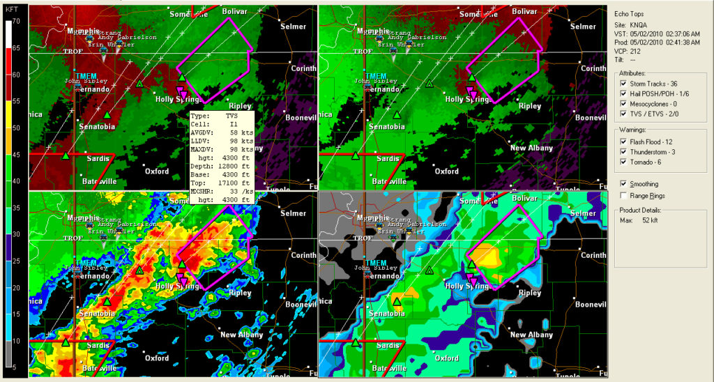
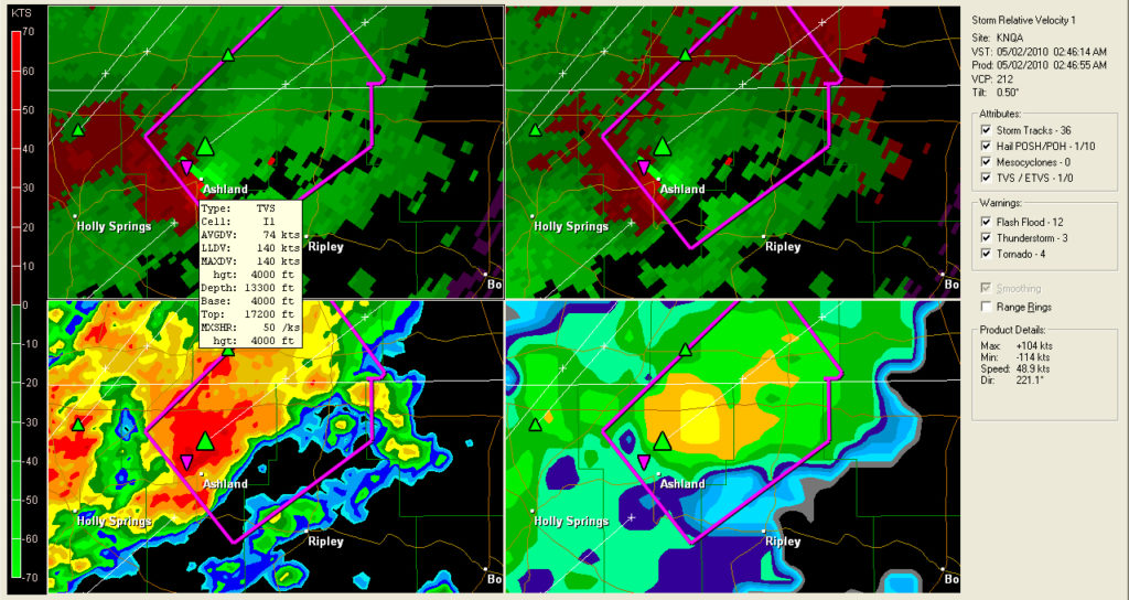
While following the storms tonight, I saved two radar scan images from the Ashland, MS tornado this morning. This storm was just crazy looking on radar. 

Radar scans of the tornado in Mississippi

The above radar images show a very powerful storm that moved over Ashland, MS.  I found the following storm report from the Memphis, TN National Weather Service office.

0246 AM     TORNADO          2 E ASHLAND             34.83N 89.14W
05/02/2010                   BENTON             MS   TRAINED SPOTTER

            DAMAGE FROM A POSSIBLE TORNADO EAST OF ASHLAND. LOTS OF
            DEBRIS IN THE ROAD. A TRAILER IS MISSING WITH PEOPLE
            UNACCOUNTED FOR. SPOTTER ALSO REPORTED HEARING FRIEGHT
            TRAIN SOUNDS WHILE IN STORM SHELTER IN ASHLAND.

That sounds pretty bad and at this time the area is under the gun again with another line of storms hitting them.

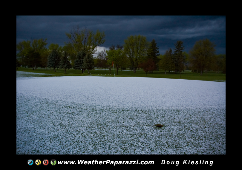
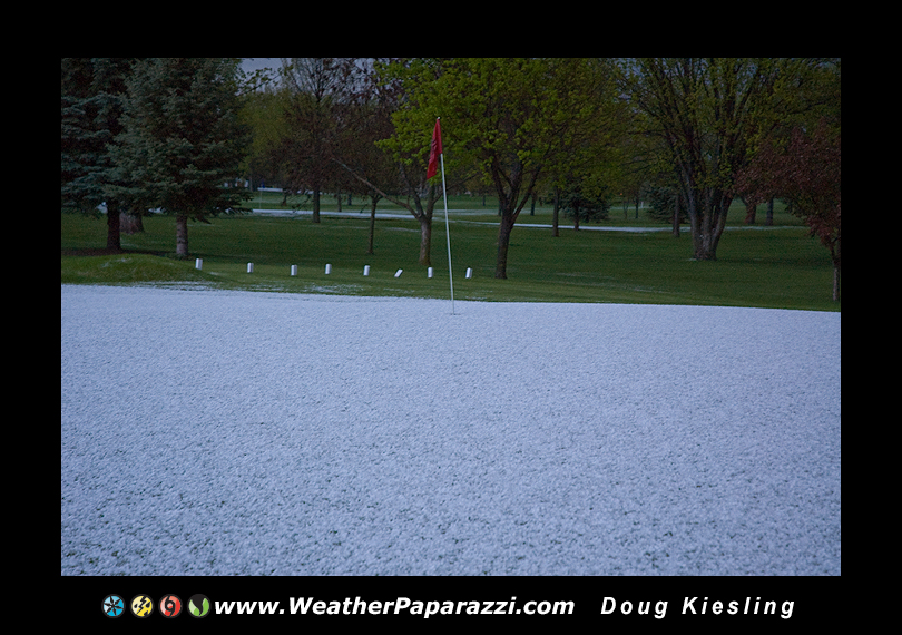
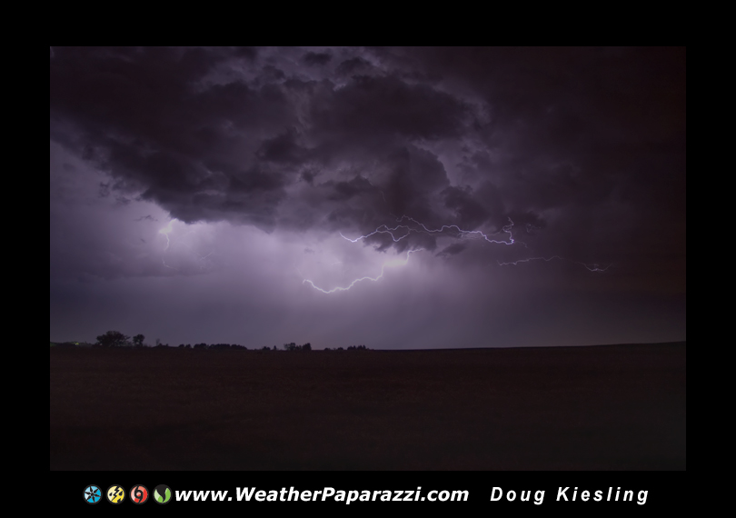
So, what else have I been doing?  With saving for school and paying off stuff, I won’t be chasing that much they year unless it is local chase with a few hundred miles from home.   I did get out on Friday for a local hail and lightning chase.  I drove up to the north of home to Sauk Centre, MN and watched the hail fall that covered the ground and did another lightning photo. 

I did get to finally do one of the shots I wanted to do for a few years now.  You have heard of Golf Ball Sized Hail?  Well, here is “Golf Course Sized Hail” with the green on the golf course covered in hail.

4/30/2010 Sauk Centre, MN Hail © Doug Kiesling
Cloud to Cloud Lightning © Doug Kiesling

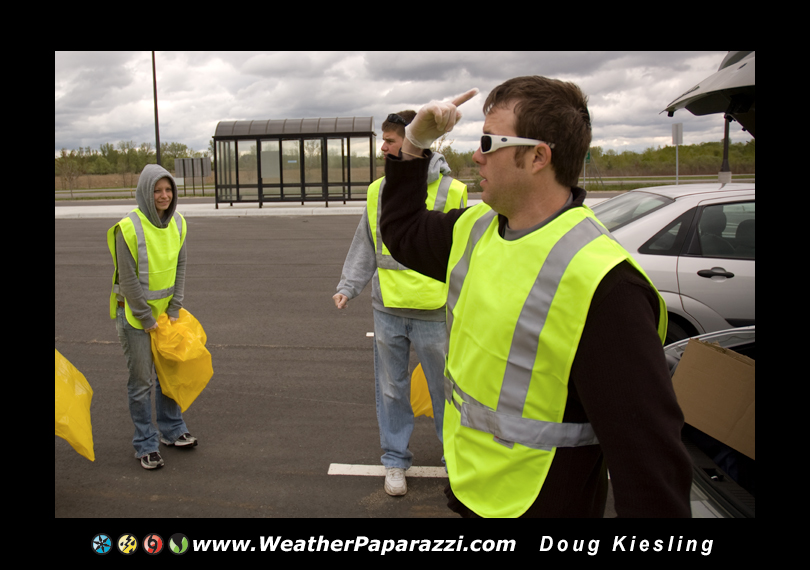
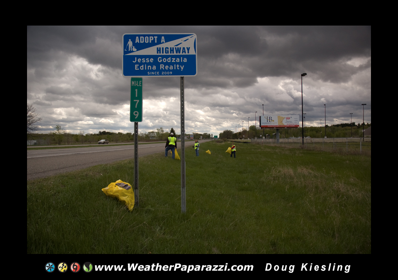
And now onto our Saturday adventure.  Neva and I helped out Saturday morning to clean up a part of Highway 10 that one of her clients adopted.

We ended up picking up almost 50, yes FIFTY bags of trash in just about three miles of roadway which is really only mile but you have to remember their is the sides of the road and the center ditch that had a lot of trash in it.  We found some strange stuff and some nasty stuff but now that part of the roadway is a lot cleaner.  

Adapt A Highway cleanup on Highway 10, 5/1/2010 © Doug Kiesling

Tornado Road now playing in Europe and the rest of the world.

I have just been informed that the show we worked on a while back where I was in front of the camera and helpd out behind the scenes, called “Tornado Road” is now airing world wide on Discovery Channel and Quest. 

http://press.discovery.com/emea/dsc/programs/tornado-road/

Here is the promo video on YouTube from Discovery Netherlands.  

Tornado Road Discovery Nederland

This was some great unexpected news.

Doug

4/12/2010 Another Northern Lights Photo Op.

The Auroras are back.

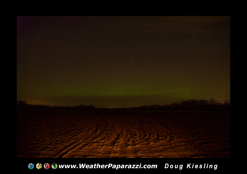
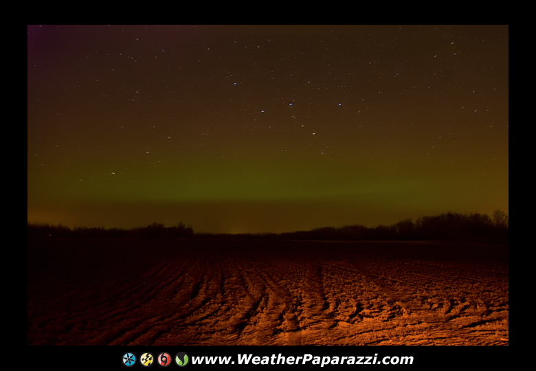
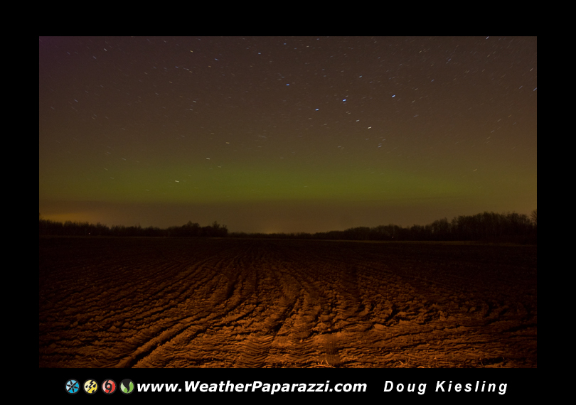
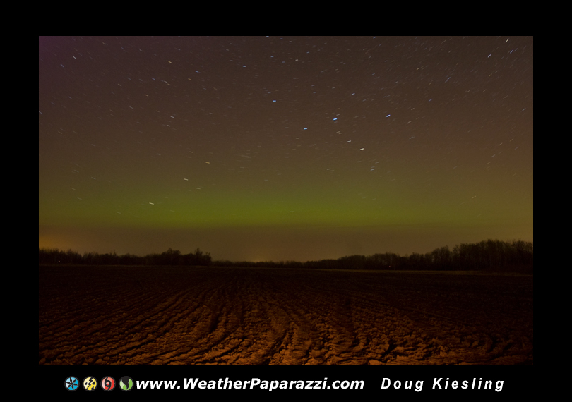
Here are the four best images that I was able to take while having a break in the cloud cover.

4/12/2010 Aurora Borealis

WOW, the Northern Lights are back and I have been able to see the glow in the northern sky twice within a week.  Considering they were pretty much gone for the last three year’s, this is pretty cool.

Neva and I left the house just after Ten tonight to head out to the northeast of Saint Cloud where we waited around for about 90 minutes until it was getting late and she had to go home to get some sleep since she had to work in the morning.  We drove in separate trucks just in case I decided to stay out later if the Auroras did finally show up.

Well, after waiting another half hour, just to the southeast of the town of Foley, MN the Aurora started to shine pretty bright with a nice green glow on the horizon for about a half hour until once again the clouds moved in and the Northern Lights faded away.

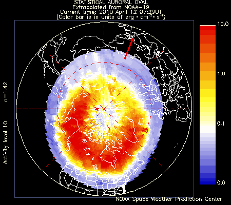
Here is the Statistical Aurora Map when the light show started to shine after two in the morning here in Minnesota.

Aurora Oval showing the area was pretty much off the charts

4/6/2010 Early morning Northern Lights chase.

I headed up north late last night to go and check out the aurora’s or northern lights.  The cloud cover was the main problem and just after 10:00 PM the cloud cover started to part and clear out for central Minnesota and northern Minnesota and the chase was on.

The plan was to just head north towards Brainerd, MN but the clouds started to move back in and I kept heading north of Gull Lake and then ended up even further north to near Leech Lake, MN.  I was finally able to get into the clear air to watch the Auroras for about a half hour before the clouds moved in.

Why so far to see the strange lights in the sky?  The last time I saw the lights was back in October of 2006.  Yes that is correct, it has been over three and a half year’s since there has been a decent northern lights setup that I was in town for and where the sky was clear enough to see them.

4/6/2010 Northern Lights