Never in my wildest nightmares did I ever think I would be back in New Orleans for a hurricane and get here on the day of the three year anniversary of Hurricane Katrina for Hurricane Gustav.
Right now were just west of New Orleans and when I say we, I mean me and the boys from the TV crew. Jared is back out for the chase along with some new friends and that homeless guy we picked up in Colorado back in June.
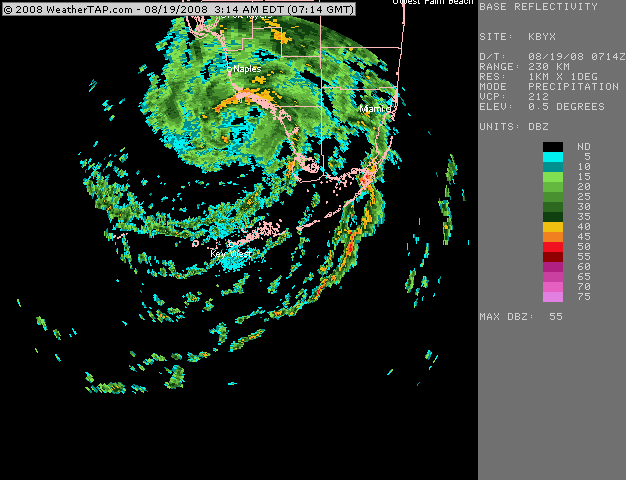
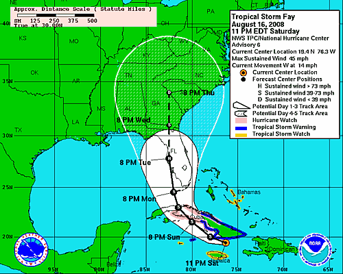
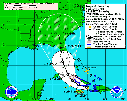
Where will Hurricane Gustav hit? That is the 64 Million Dollar Question friends. The computer models are saying somewhere in the Gulf between Gulfport and Houston.
Right now NHC current track has it centered on the area just west of New Orleans.
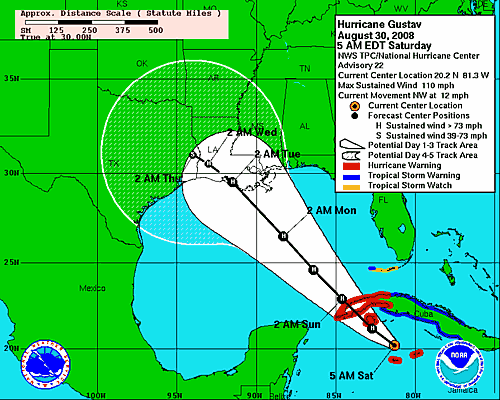
So it looks like the worst of the storm sure and the worst of the flooding could be heading this way with the worst of the winds heading towards the area just to the SW of New Orleans…
Oh Wait that is the center track, New Orleans is in the middle of the right side of the Three Day Cone.
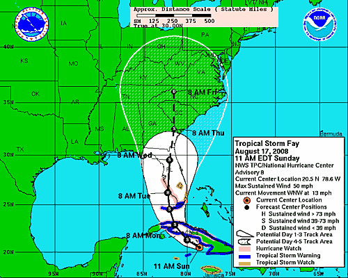
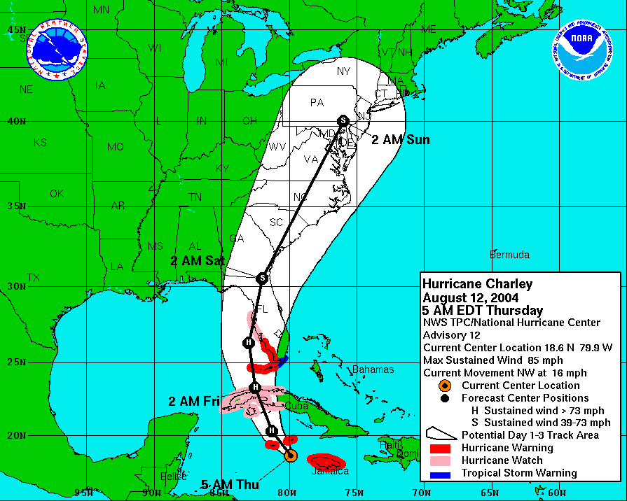
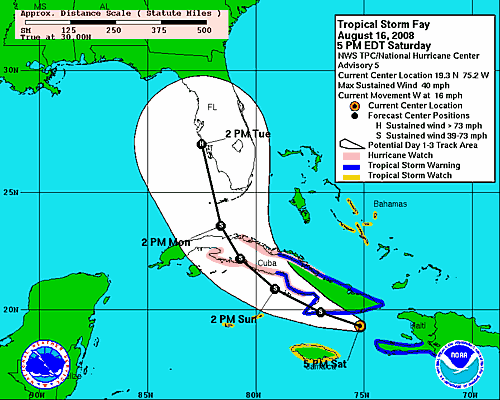
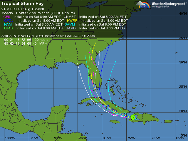
What does that mean? That my friend’s tells me that NOLA could get this thing with a head on hit. How many hurricanes hit and turned to the right at the last minute? Um yeah, most of them do in the Gulf. Even that last thing, TS Fay turned to the right at the last minute. Charley did in 2004 and so did Katrina and Rita. I have a feeling I may be seeing the eye of Katrina in the worst spot possible.
If your not in here by now, your not getting into this town. New Orleans is pretty much on a lock down with St. Charles Parish being locked down this morning. I just heard the last flight out will be at 6PM today and the Contra Flow will start up today as well.
The good thing about this storm is Katrina woke up everyone and this time everyone is ready, well almost everyone. The people are still partying on the street in the French Quarter but most are saying they are leaving ASAP.
I have all the supplies I need to last me for a week so I am good to go. I just hope that Hurricane Hanna does not come in while I’m still dealing with Hurricane Gustav. This could be an active 2 weeks.